THE SCOTTY CREEK RESEARCH STATION
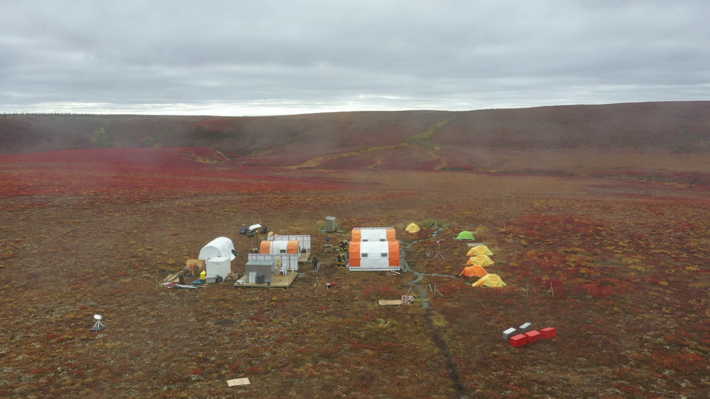
The SCRS is in the process of transforming into a Dehcho regional “research park”, a state-of-the-art, inter-disciplinary scientific observatory and centre of community engagement for researchers and community members to come together as “partners in learning” to exchange experiences and ideas, to co-develop new knowledge, and to nurture the next generation of collaborations between western scientists and Indigenous knowledge holders. Co-development of new knowledge is empowering to local communities because it gives them a voice in creating knowledge while increasing their capacity to respond to the new and complex challenges of climate warming. By making research programmes visible and available for local community participation, the evolving research park also contributes to the knowledge economy of the Dehcho. A regional research park co-led by indigenous communities will be the first of its kind not only in Canada, but throughout the circumpolar region. As such, the Dehcho regional research park at Scotty Creek will provide a leading example for scientific-Indigenous collaboration.

Philip Marsh
Professor and Canada Research Chair in Cold Regions Water Science
TRAIL VALLEY CREEK
ARCTIC RESEARCH STATION
The Trail Valley Creek Research Station is located 50 km north of Inuvik, Northwest Territories. Research started at this site in 1991 and operates from April to September. Trail Valley Creek drains 58 km^2 of tundra, with patches of shrubs and boreal forest, and is underlain by ice-rich continuous permafrost. This area is one of the most rapidly warming regions on Earth, with local records indicating rapid warming at over twice the global average. This rapid warming of near surface air temperatures is expected to result in melting of ground ice and increased permafrost thaw, expansion of shrubs into tundra regions, thinner snow covers that are melting earlier in the spring, and changes in runoff. Research at Trail Valley Creek is complemented by observations at the Havikpak Creek research watershed, which is located 50 km to the south contained within the boreal forest.
Homa Kheyrollah Pour
Assistant Professor, Department of Geography and Environmental Studies
ReSEC Lab
REMOTE SENSING OF ENVIRONMENTAL CHANGE RESEARCH GROUP
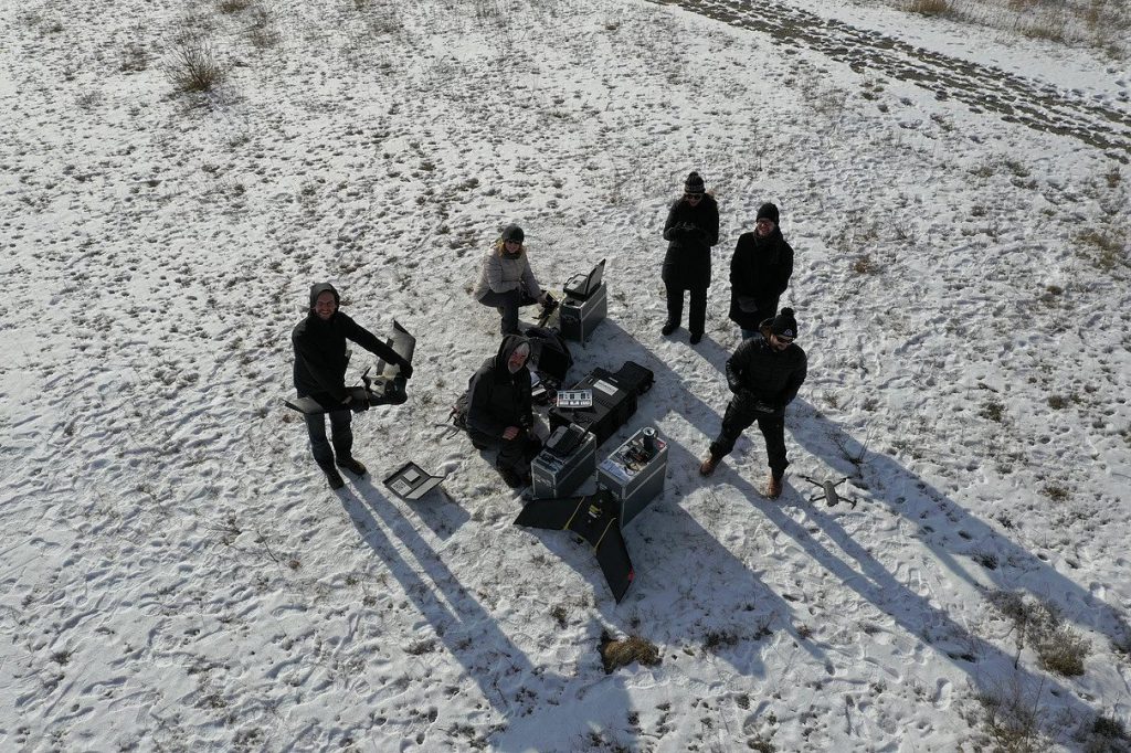
Our research will support the emerging spectrum of environmental issues throughout cold regions, applying remote sensing methods and mathematical modeling. We study the response of cold region hydrology related to changing the climate, such as lake ice, snow cover, land cover incorporate satellite observations of surface and subsurface processes in mesoscale numerical models. Our current areas of interest include the development of statistical modeling and machine learning of the relationship between ice extent, environmental drivers, and water quality, the response of lakes to contemporary and projected climate conditions.

Jennifer Baltzer
Associate Professor & Canada Research Chair in Forests and Global Change
FOREST ECOLOGY RESEARCH GROUP
Located at Wilfrid Laurier University in Waterloo, Ontario, Canada, the Forest Ecology Research Group examines the functional basis of plant species distributions. Trade-offs between stress tolerance and performance contribute strongly to species distributions and may provide a more general basis for species range sizes and patterns of local distribution. We focus on forest ecosystems including tropical, temperate and boreal forests.
Derek Gray, Assistant Professor
Department of Biology, Wilfrid Laurier University
FRESHWATER ECOLOGY LABORATORY
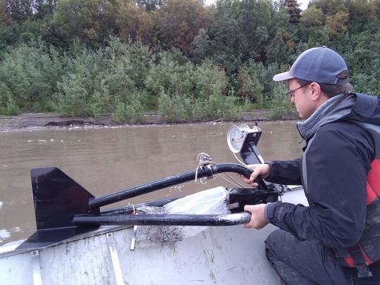
Aquatic communities are facing a variety of environmental stressors including climate change, increased nutrient levels, pollution, acidification, and invasive species introductions. While the impacts of these interacting stressors are being studied extensively, our ability to accurately forecast the response of communities to environmental change remains poor. Research in my lab aims to understand and predict the impacts of short- and long-term environmental change on aquatic communities. We use a mix of field and laboratory experiments, synoptic surveys, and time-series analyses in our research.
Jason Neelis
Associate Professor, Department of Religion and Culture
Upper Indus inscriptions and petroglyphs in northern Pakistan
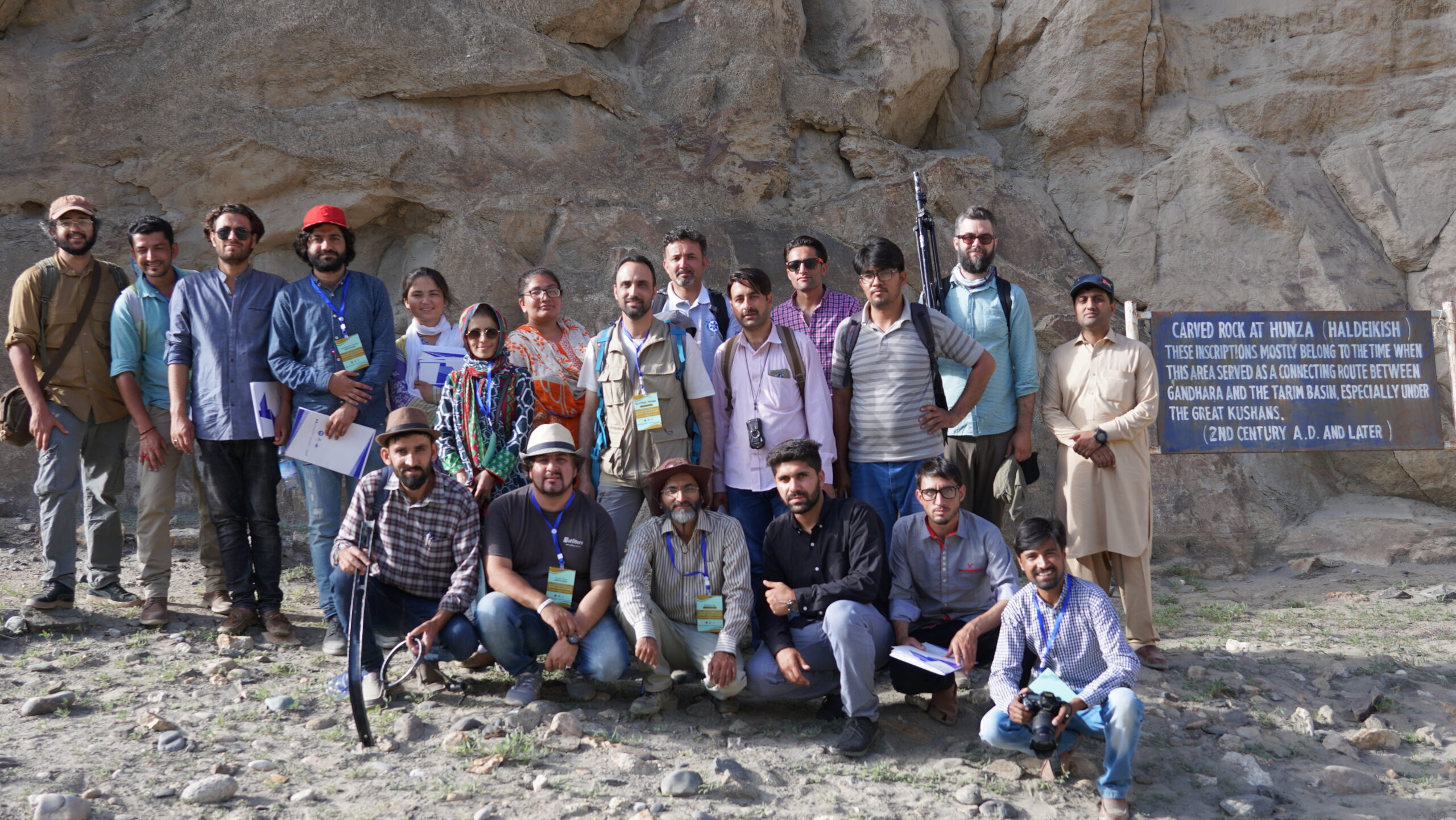
Inscriptions and petroglyphs were written and drawn on rocks by visitors and local residents from prehistoric times to the present along the Upper Indus River and other tributary valleys in the high mountain desert environment of northern Pakistan. These vital written and visual records reflect remarkably diverse visual symbolism, languages, and writing systems, which testify to cross-cultural exchanges, religious transmission, and intertwined networks for migration and trade where the Western Himalayas, Karakoram and Hindu Kush ranges converge. In order to digitally preserve the cultural heritage from impending loss, we are using multi-layered imaging and mapping techniques in a digital survey of epigraphic and petroglyphic complexes located in the flood basin of Diamer-Basha Dam in Chilas-Diamer district of Gilgit-Baltistan province.
Frances Stewart
Assistant Professor, Department of Biology, Wilfrid Laurier University
WILD Lab
WILDLIFE INTEGRATION FOR LAND USE DECISIONS LAB
Northern countries, such as Canada, host the majority of the world’s remaining wilderness; areas of biodiversity, carbon, and natural resource use importance. However, the north is rapidly changing due to climate, human use, and changing species interactions. As a team, we ask applied questions to better comprehend how wildlife will respond to this change. We integrate information through field work, statistics, and ecological forecasts to ensure sound science behind biodiversity management decisions made today, and in future.
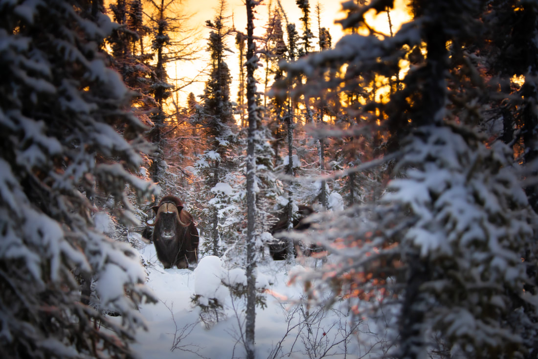
Photo Credit: Kevin Chan
